Services Rendered: Aerial Survey, Control Establishment.
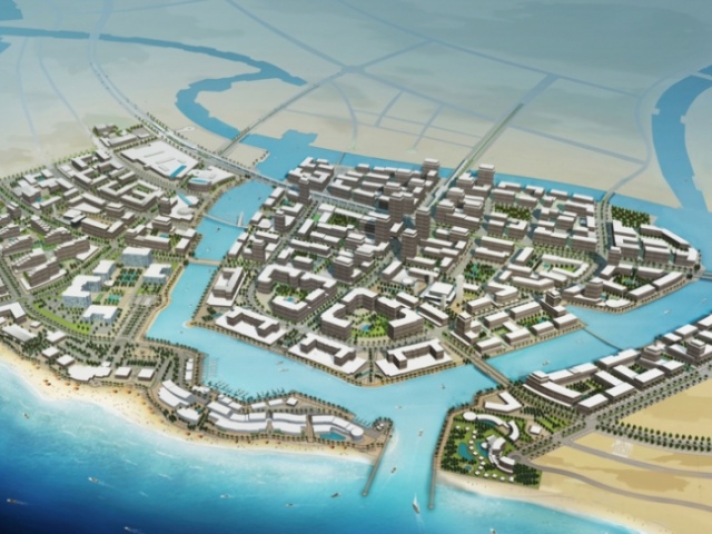
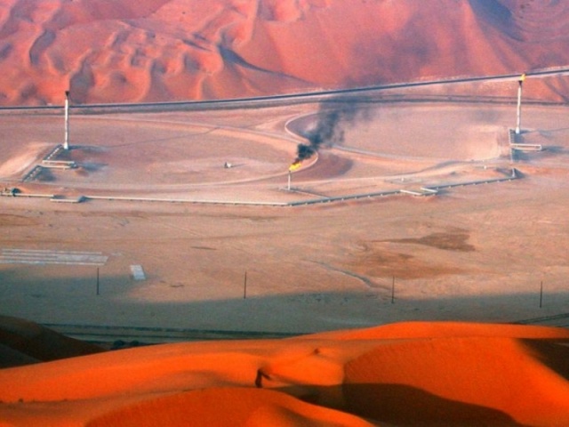
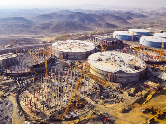
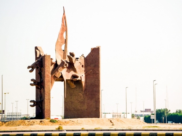
Description: This project is designed to establish and survey ground control points for various aerial photography and mapping projects in different locations nationwide. Our role was to plan, establish, and survey the required (GCP’s) using static GNSS/GPS technique. The supplied services also included the processing of the field GNSS data, computation and adjustment of ground point coordinates and preparation of survey reports.
Owner: Ministry of Municipal and Rural Affairs.
Work Location: Multiple Locations) Riyadh, Makkah, Jeddah, Abha, Jubail, and Ras Al Zour, Saudi Arabia
Services Rendered
Aerial Survey, Control Establishment.
Description
This project is designed to establish and survey ground control points for various aerial photography and mapping projects in different locations nationwide. Our role was to plan, establish, and survey the required (GCP’s) using static GNSS/GPS technique. The supplied services also included the processing of the field GNSS data, computation and adjustment of ground point coordinates and preparation of survey reports.
Owner
Ministry of Municipal and Rural Affairs.
Work Location
Multiple Locations) Riyadh, Makkah, Jeddah, Abha, Jubail, and Ras Al Zour, Saudi Arabia
