Services Rendered: Bathymetric Survey.
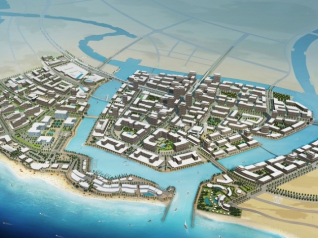
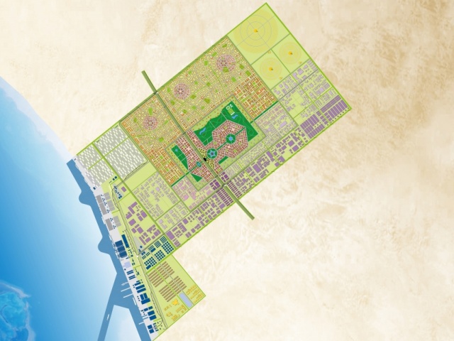
Description: The primary purpose of the project is to collect data to support the planning of the new port at Al-Lith. In particular, the survey data will be used to check the viability of the proposed approach channels and to provide input for the numerical modeling of wave, tidal and sediments.
Owner: Sea Ports Authority
Work Location: Between Ra’s al Askar and Ra’s al Hasan – Al Lith Region
Services Rendered
Bathymetric Survey.
Description
The primary purpose of the project is to collect data to support the planning of the new port at Al-Lith. In particular, the survey data will be used to check the viability of the proposed approach channels and to provide input for the numerical modeling of wave, tidal and sediments.
Owner
Sea Ports Authority
Work Location
Between Ra’s al Askar and Ra’s al Hasan – Al Lith Region
