Bathymetric Survey for the Navigation channel – King Abdullah Economic City

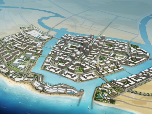
Bathymetric Survey for the Navigation channel – King Abdullah Economic City Services Rendered: Control Establishment, Tidal Measurements, Bathymetric Survey, coastal area Topographic Survey. Description: The project Scope involves the performance of bathymetric survey to document existing condition of the proposed navigation channel of KAEC in accordance with IHO class 1B requirements. We

Read More

Bathymetric Survey for Baish Corniche And Fishing Project

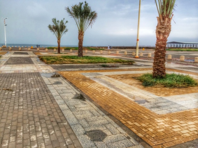
Bathymetric Survey for Baish Corniche And Fishing Project Services Rendered: Control Establishment, Tidal Measurements, Bathymetric Survey, Coastal Area Topographic Survey.. Description: The proposed corniche and fishing port project site is currently an open and undeveloped sandy beach located along the Red Sea Shoreline to the Northwest of JEC and about 20 km

Read More

Bathymetric Survey Al Lith Seaport – Al Lith

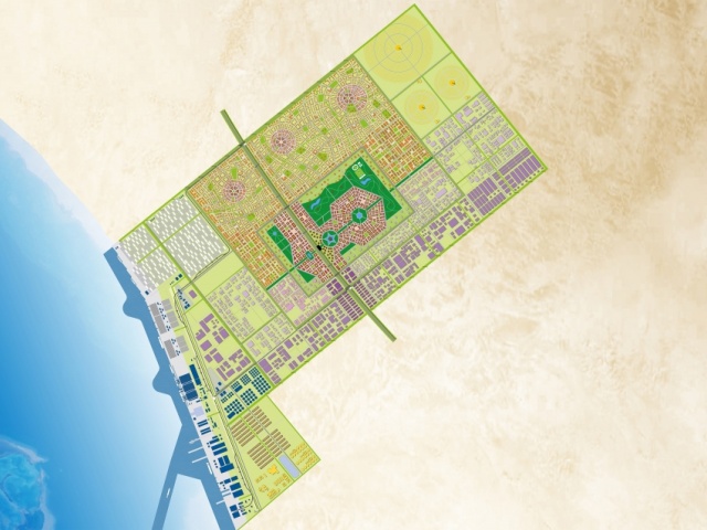
Bathymetric Survey Al Lith Seaport – Al Lith Services Rendered: Bathymetric Survey. Description: The primary purpose of the project is to collect data to support the planning of the new port at Al-Lith. In particular, the survey data will be used to check the viability of the proposed approach channels and to

Read More