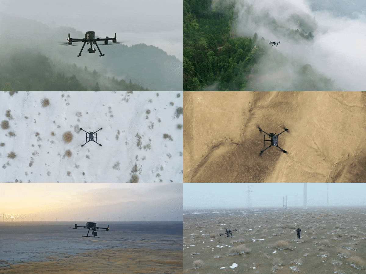
At Twozan Surveys, we’re constantly innovating to provide the best solutions for our clients. Introducing our cutting-edge Drone Survey Service, a game-changer in the field of land surveying. With our state-of-the-art drones and experienced team, we offer unparalleled accuracy, efficiency, and convenience for your surveying needs.
We at Twozan Surveys provide our clients with UAV Drone Survey, which can provide geospatial and imagery datasets that represents an integrated platform for all clients. These services includes, but are not limited to:
We at Twozan Surveys use the latest Drone survey technologies to conduct these surveys. We use the latest technology in Drone Surveying and spatial imaging as modern method when conducting these surveys. It provides the most accurate measurement and creates rich data sets based on survey data.

