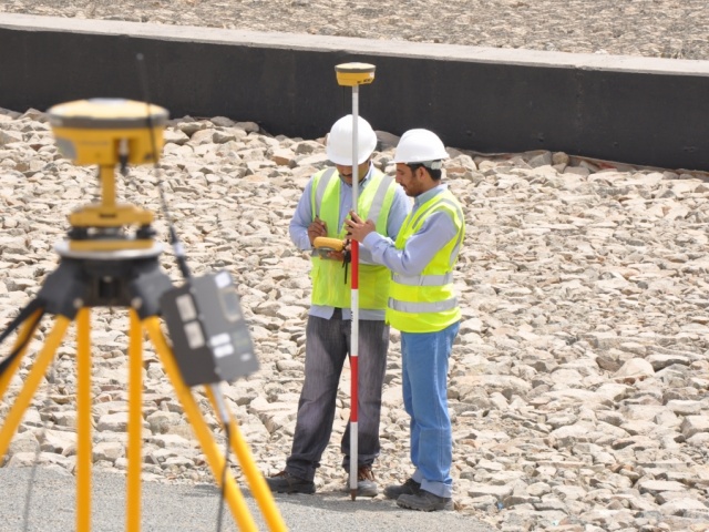
Topographic Mapping Surveys are carried out to document existing project site conditions for various purposes such as urban and regional planning, project design, road and utilities route design, site preparation and grading, quantity and volume calculation. Topographic Survey typically depicts the configuration of the ground surface details in addition to site planimetric details. Ground surface details are then represented on topographic maps of various sizes, scales and formats depending on the intended use of the maps.
Topographic data collection can be achieved using traditional survey system (total station) or satellite based positioning systems. The amount of details, accuracy, site conditions, and project schedule constraints often determine the type of survey systems used. Both techniques (GNSS RTK or Conventional Total Stations) almost provide identical output and therefore can be used interchangeably.
At TWOZAN SURVEYS, we realize and fully understand the importance of topographic data delivered to our clients. This data is a vital input into the project design and planning phases. High quality topographic data in terms of accuracy and completeness is guaranteed via faultless and well defined process of clearly identifying project objectives, professionally supervised field survey and mapping procedures, and more importantly, well established quality control and assurance processes throughout the entire project. All our deliverables are painstakingly tested and checked in accordance with highest professional standards.
TWOZAN SURVEYS has completed numerous topographic mapping projects for various types of engineering and planning purposes. Our list of featured projects shows some samples of our previous works of topographic mapping.

