

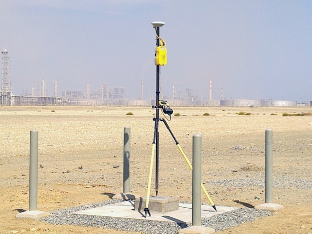
Project control point coordinates and elevations are typically established using Global Navigation Satellite Systems (GNSS) static/fast static surveys, conventional traversing, and differential leveling. TWOZAN SURVEYS have extensive experience in the establishment of geodetic control point networks using both conventional and satellite-based positioning systems ranging from small project controls to regional and national geodetic networks. We also have extensive experience in tying project-control monument network to other local, municipal, national, and global geodetic control networks. This is important for interfacing the project with existing or future adjacent development projects and documenting the project for update of municipal Land Information Systems, Geographic Information Systems, or for the generation of the project as-built plans.
We understand the importance of project control network and its impact on the project overall integrity and accuracy. Therefore, we adopt the highest professional standards in the selection and construction of survey control monuments in addition to the selection and implementation of the right technology to achieve the highest professional accuracy standards when determining the position coordinates and elevations of the control monument network.
We advise our clients to plan their project coordinate system and control network monuments as early as possible during the project initiation phase to ensure successful completion of the project. For assistance or more information, kindly contact one of our client relations representatives.